Storm Tracker | Mobility Impact | Storm Stats | City Boundaries | Data Processing | Impact Charts | Refinements

City Boundaries

Each city boundary is centered on the lat/lon provided by a Google search.

Manila, Philippines - 20 km radius surrounding lat/lon 14.5995, 120.9842 - Rammasan 40 mph
Ninoy Aquino International Airport, PH - 40 mph wind July 16, 2014 (wunderground)
Rammasun prompted more than 400,000 people to evacuate their homes. (earthobservatory.nasa.gov)


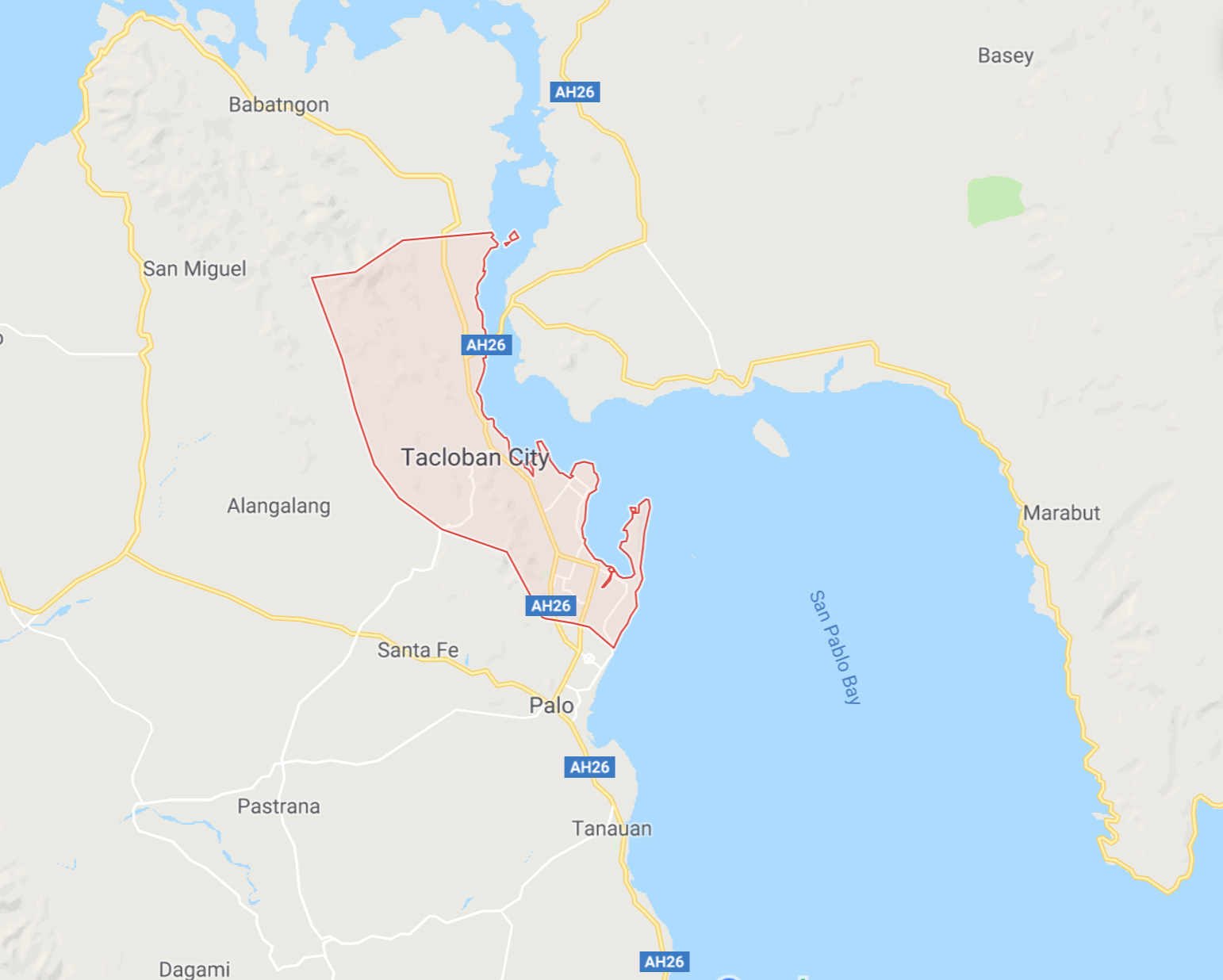
Tacloban, Philippines - 11 km radius surrounding lat/lon 11.2543, 124.9617 - Haiyan 184 mph
Cebu City, Philippines - 20 km radius surrounding lat/lon 10.3157 123.8854 - Haiyan 140 mph


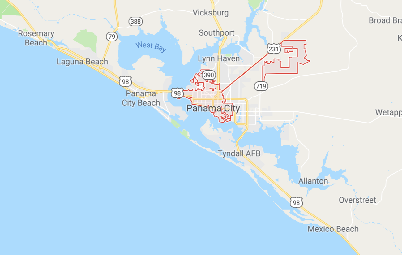
Panama City, Florida - 20 km radius surrounding lat/lon 30.1588 -85.6602
[Too few norm tweets]


Tampa & St. Petersburg, Florida - 40 km radius surrounding lat/lon 27.9506 -82.4572

Willmington, NC - 20 km radius surrounding lat/lon 34.2104 -77.8868
[Low local tweets compared to 10km and above tweets.]


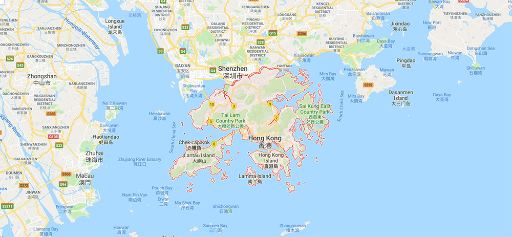
Hong Kong, China - 36 km radius surrounding lat/lon 22.3964 114.1095


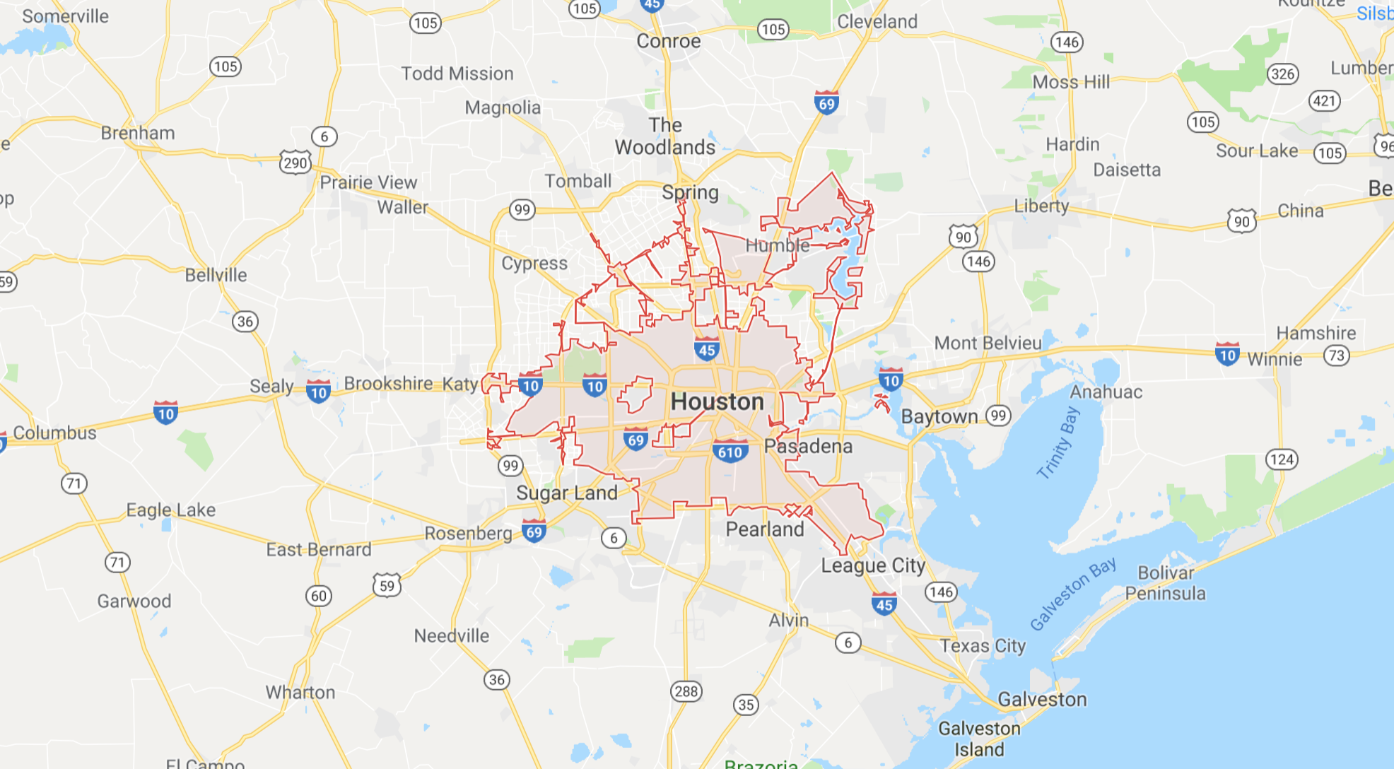
Houston, Texas - 42 km radius surrounding lat/lon 29.7604 -95.3698


Tokyo, Japan - 50 km radius surrounding lat/lon 35.6895 139.6917
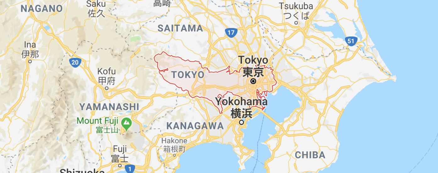


Hamamatsu, Japan - 50 km radius surrounding lat/lon 34.7108 137.7261

Shingū, Japan - 50 km radius surrounding lat/lon 33.7241 135.9924


San Juan - 20 km radius surrounding lat/lon 18.4655, -66.1057


Jacksonville, Florida - 42 km radius surrounding lat/lon 30.3322 -81.6557


About City Boundary Areas

To reproduce 2013-2014 tropical storm impact charts, several factors had to be determined:

A. How is the city footprint defined?
B. Are travel steps that originate outside the city included?
C. What are the boundaries for steps starting or ending outside the city?

A. Determine radius matching each urban area

  1. Select the latitude and longitude returned by a Google search of the city, state and country following by "latitude and longitude".
  2. Adjust the radius to create a circle that surrounds the city borders displayed on a Google Map.
  3. Round up to an integer that surrounds the city.
  4. Set the maximum at 50km to adjust for cities like Tokoyo for which Google assigns a center point in the downtown area, rather than the center of the bounded area.
  5. When two city circles overlap due to offset center point, shift the center point. (See: Manila and Antipolo below.)
  6. Enter the integer value in the tropical storm Google Sheet to set storm impact analysis parameters for import into Postgresql.

B. Are travel steps that originate outside the city included?

Based on the length of the long travel steps in the original study, we can assume that a large surrounding area needs to be included.

Since steps leaving the city area were included, we have also included steps that originated outside the city, such as those of commuters traveling into the city.

The radius of gyration calculation includes all Twitter posts made by each individual for each day they enter the city. This include posts made prior to the entering the city, even if the user did not move between each prior post.

C. What are the boundaries for the area outside the city?

We used the entire country in a bounding rectangle as the external boundary for midsize countries. For larger countries, like the United States and China, we used a region of the country within a bounding rectangle.

Country of Philippines
Country of Japan
Southeast USA and Caribbean
Southeast China

Country Bounding Boxes were provided by the following country bounding box coordinates.

These boundaries allow us to bin (crop) the long distance travel steps to a manageable level for our pre-processing queries.

We considered simply using a 50km radius for all cities, however the original 2013-2014 study contained two cities within 17km (Manila and Antipolo).